Αpplied and pure research
in the area of remote sensing
in archaeological research
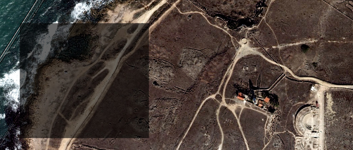
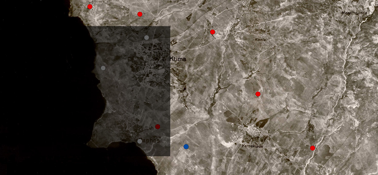
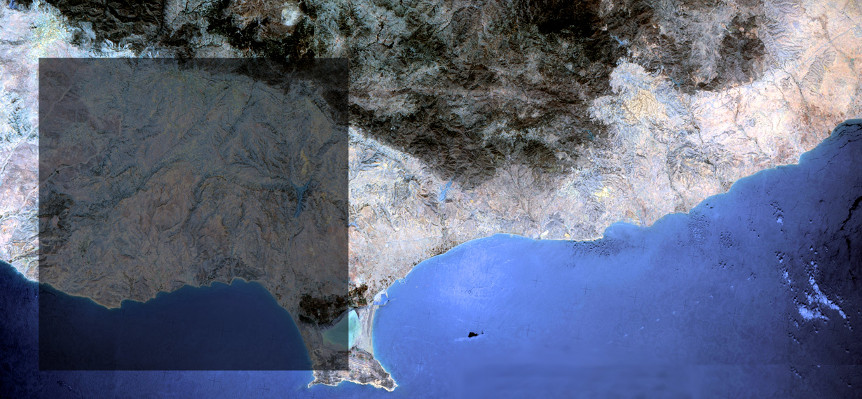
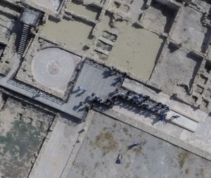
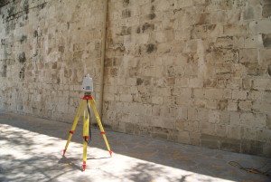
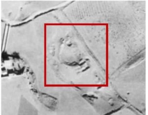
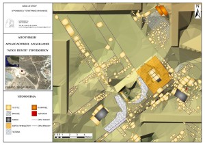
Cultural Heritage (CH) sector is facing a wealth of challenges, including the decreased of public budgets, urbanization, globalization and technological changes. Within this context, CH also needs to improved its’ methodologies in order to understand better our past. Remote Sensing (RS) offers new perspectives in the archaeological research. RS is a non-destructive and non-contact technique that may be used as part of an investigation of an archaeological or historical site prior to any excavation or other intervention commences. At a micro-scale, geophysical surveys can provide valuable information for underground monuments, while at a macro-scale, aerial photography, multispectral / hyperspectral and radar satellite images can locate traces of previously anthropogenic residues.
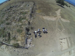
The Archaeology and Cultural Heritage (ARCH) section of the Lab is devoted in a multidisciplinary research towards documenting, understanding and analyzing in micro and macro scale, sites of Cultural Heritage with an ultimate scope their digitization, understanding and consequently preservation.